Site file
You can record details of geographic sites or archaeological sites with the Site file.
Overview
-
You can note information such as the latitude, longitude, altitude, geological description, geopolitical and historical notes, and access notes about the site.
-
Site records can be standalone records, or you can link them to Object records.
Identification window - Name, Lat, Long tab
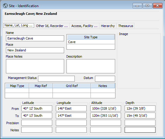
Site description fields
Map fields
Coordinate fields
Identification window - Other ID, Recorder tab
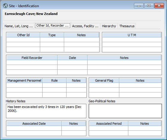
Other ID fields
UTM field
Field recorder fields
Management personnel fields
General flag fields
History and geo-politics fields
Associated date fields
Associated period fields
Identification window - Access, Facility tab
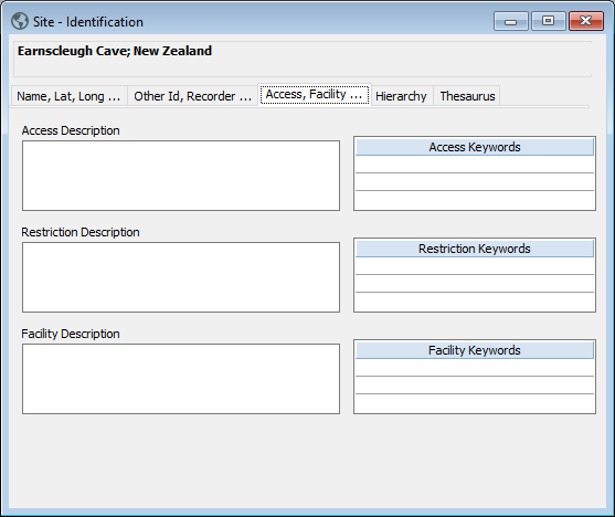
Access fields
Restriction fields
Facility fields
Condition & Use window
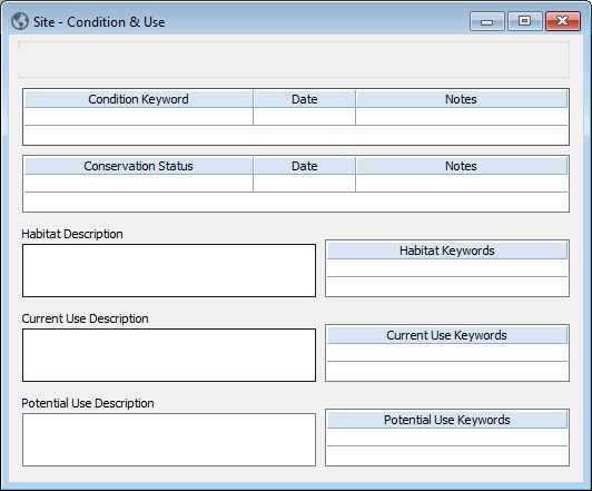
Condition fields
Conservation status fields
Habitat fields
Current use fields
Potential use fields
Geology window - Structure, Stratigraphy, Extract, Petrology tab
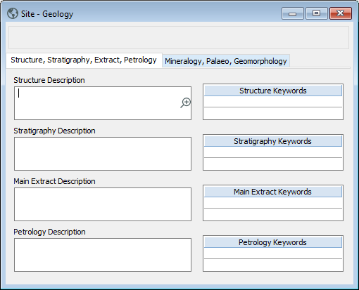
Structure fields
Stratigraphy fields
Main extract fields
Petrology fields
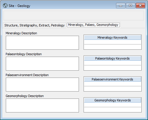
Geology window - Mineralogy, Palaeo, Geomorphology tab